Cathegory 5 Major Hurricane Lee is raging in the tropical atlantic on sept 8, with over 150 knots of peak wind speed, and heading west towards the US east coast. This Sentinel-3 SLSTR cloud top temperature image is showing the cold high altitude clouds rising and rotating fast around the warm eye at the center. The rising air in a hurricane can extend to high altitudes within the storm. As the air ascends, it expands and cools due to decreasing air pressure at higher altitudes. This cooling leads to the formation of clouds, and as the air continues to rise, the clouds can reach higher altitudes, typically more that 10 000m, where temperatures are colder.
Sentinel-3 SRAL altimeter on the same platform is coincidently measuring the high waves (over 10m height) under the satellite track.

https://seashot.odl.bzh/s/oyfNT4KNf3Q


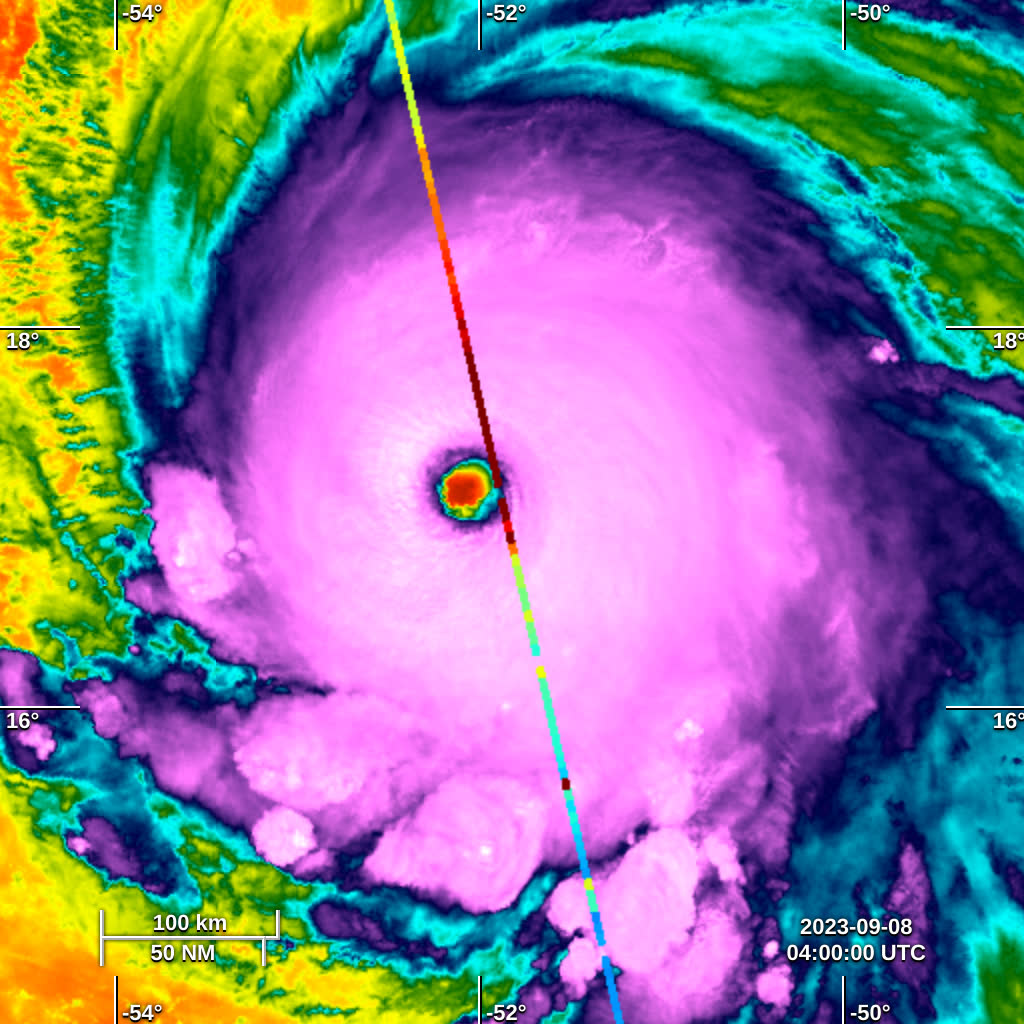
Contains Modified Copernicus Sentinel data 2023.
Your browser is out-of-date!

Update your browser to view this website correctly. Update my browser now

×